Buffumville Lake Park Day Trip
Welcome to Buffumville Lake Park in Charlton, MA
Managed by the US Army Core of Engineers, which built the Buffumville Dam in 1958, Buffumville Lake Park in Charlton, Massachusetts (MA), is a scenic, quiet place for exploring nature and doing outdoor activities year round. At Buffumville Lake, there are a variety of natural habitats, trees and wildlife to see, and visitors can walk along the lake by taking the approximately seven-mile Lake Shore Trail looping around the entire 200-acre body of water. During the warmer months, you can boat/kayak, fish and mountain bike.
While the Oxford Road park entrance (the north side) to vehicles is closed during the off season, you can access the lake park for walking or hiking by going to the parking area at the boat ramp launch on the south (or dam) side, which is connected to the Buffumville Dam.
Dogs on leash are welcome, and there is a legit disc golf course around that goes around the dam.
Buffumville Lake Park Location | Driving Directions
How to Get to Buffumville Lake Park (Charlton, MA)
To get to both the Lake Park entrance (the entrance gate is up during the off season) and boat ramp parking area (open during the off season), which are directly across on opposite sides of the road, you can take Interstate 395 (south or north) or MA-20 (east or west). Coming on 395, take exit 4B merging onto Sutton Ave. towards Oxford. Continue driving straight onto Charlton Street and then onto Oxford Road. The entrance is at 229 Oxford Road.
If taking MA-20, turn (left or right depending on the direction you are driving) onto Hammond Hill Road and then left onto Oxford Road.
There is ample parking, including a second lot (1st right after entering the boat launch parking area).
What to See at Buffumville Lake Park
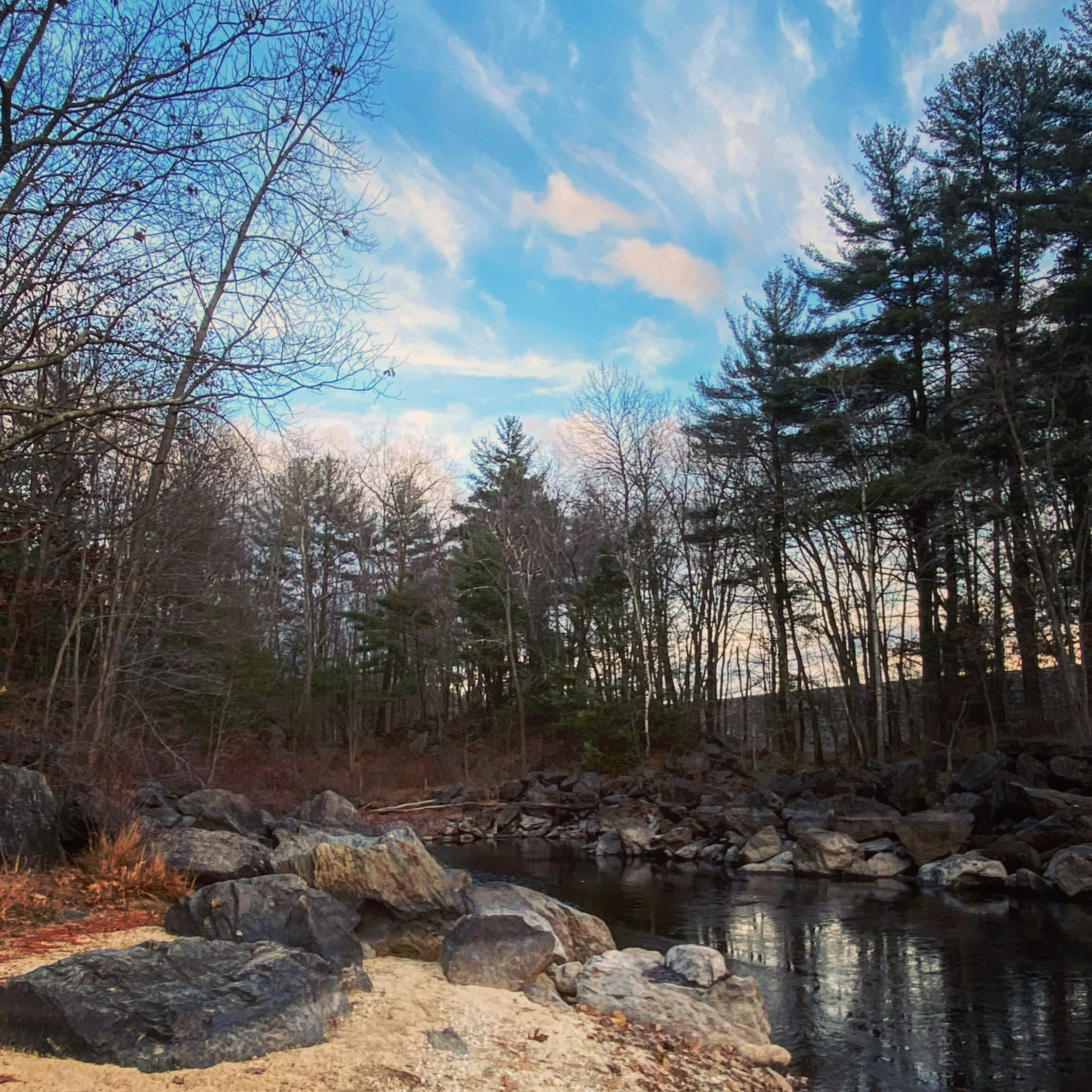
Before going for a walk or hike, head down to the beach area just to the right of the boat ramp parking lot; the beach is accessible year round on foot and you get an expansive view of the diverse nature and lake in the distance.
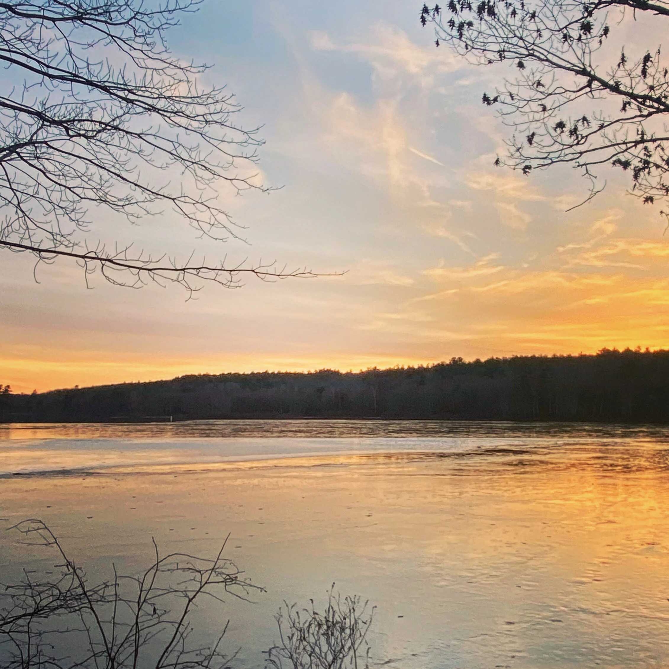
Tip: The sandy area next to the boat launch ramp is also a great spot for sunset pics. Highly recommend stopping here once you’re finished hiking.
To start your hike, walk left from the parking lot, pass the yellow gate and look for the blue markers to get onto the Lake Shore Trail. In the off season, the trail may be iced over in spots after big snow storms. Otherwise, this marked path takes you down to the sand that touches the shoreline, and you can follow this trail, which is shaded with tall pine trees, to hike by the dam and around the lake.
Tip: On this side of the lake, the trail is moderately difficult in spots with wooded areas, rocks and declines and is not suitable for strollers. Elementary school-aged kids should be fine on the trail with supervision.
During our visit, the trail was icy in spots, and we continued past the trail, turned left at the rock cliff wall and walked up to the paved Shore Road (closed to vehicles). This takes you to Buffumville Dam overlooking the lake. Use this trail map to help plan your hike.
Seeing the dam will be a cool activity for kids, and the path on Shore Road let’s you walk right by it.
Tip: Pause at the top of the Dam to see the natural beauty and horizon. In the afternoon, you can time your visit to get spectacular sunset views.
Then, you can walk down to the lake shore on either side of the dam (there are paved ramps that go off of the road). Here you can get a close-up, almost panoramic view of the lake and get onto the trail (weather permitting). This is also a great area for frisbee and bringing your dog (must be on leash).
Tip: There are picnic tables and benches you can rest at and take the serene, vast landscape.
Tip: The shoreline below the dam is a great location for wide landscape pics, and there is plenty of space to set up manual cameras and capture stellar images. For drone/aerial photographers, check the rules and regulations.


