Quabbin Reservoir - Gate 35 Day Trip
Welcome to Quabbin Reservoir Gate 35 (New Salem, MA) for Views and Brews
Did you know Quabbin Reservoir is the largest body of water in Massachusetts surrounded by land? It is a hikers’ and outdoor enthusiasts’ wonderland. While you can go on plenty of long hikes, we’ll instead go on a quick walk for quiet, expansive views of the Quabbin Reservoir and cap off your day trip with some tasty, local Massachusetts craft beer.
Gate 35 is a great choice for a day trip to hike in western MA because it is a short walk to the reservoir shore, and the trail is great for all seasons, ages and fitness levels. Be sure to also visit Quabbin Gate 52 in Ware for another easy, short hike to the reservoir shore and amazing Quabbin views.
Whether you have done a lot or only a couple of Quabbin hikes, Gate 35 should be high on your list to explore the natural beauty of this place.
Quabbin Reservoir (interactive) map | Quabbin Reservoir fishing map (with gates marked)
While Quabbin Reservoir gets a lot of hikers and visitors, Gate 35 is (generally) less traversed and, sometimes, provides a special opportunity to explore nature in a deserted spot that is all yours.
How to get to Quabbin Reservoir – Gate 35
First, use the fishing map as a general guide because Gate 35 is marked.
Go to Route 122 in western MA; you can drive from either direction. Look for and turn either right (if coming on 122 South) or left (if coming from 122 North) onto Old North Dana Road in New Salem, MA. See where 122 and Old North Dana Road connect. Then follow Old North Dana Road all the way to the yellow gate and park.
Tip: If coming from Worcester or Boston, MA (or from the east generally), don’t get fooled by Dana Road and Old Dana Road. When you see those, keep driving and continue through Petersham, MA. Gate 35 will be found off Old North Dana Road once you’re in New Salem, MA.
What to see at Quabbin Reservoir – Gate 35
Start your visit by walking through the gate onto the path and continue heading straight. After a few steps, you’ll reach a fork where you can turn left or go straight. Continue heading straight, which is the quick hiking trail to the reservoir shore.
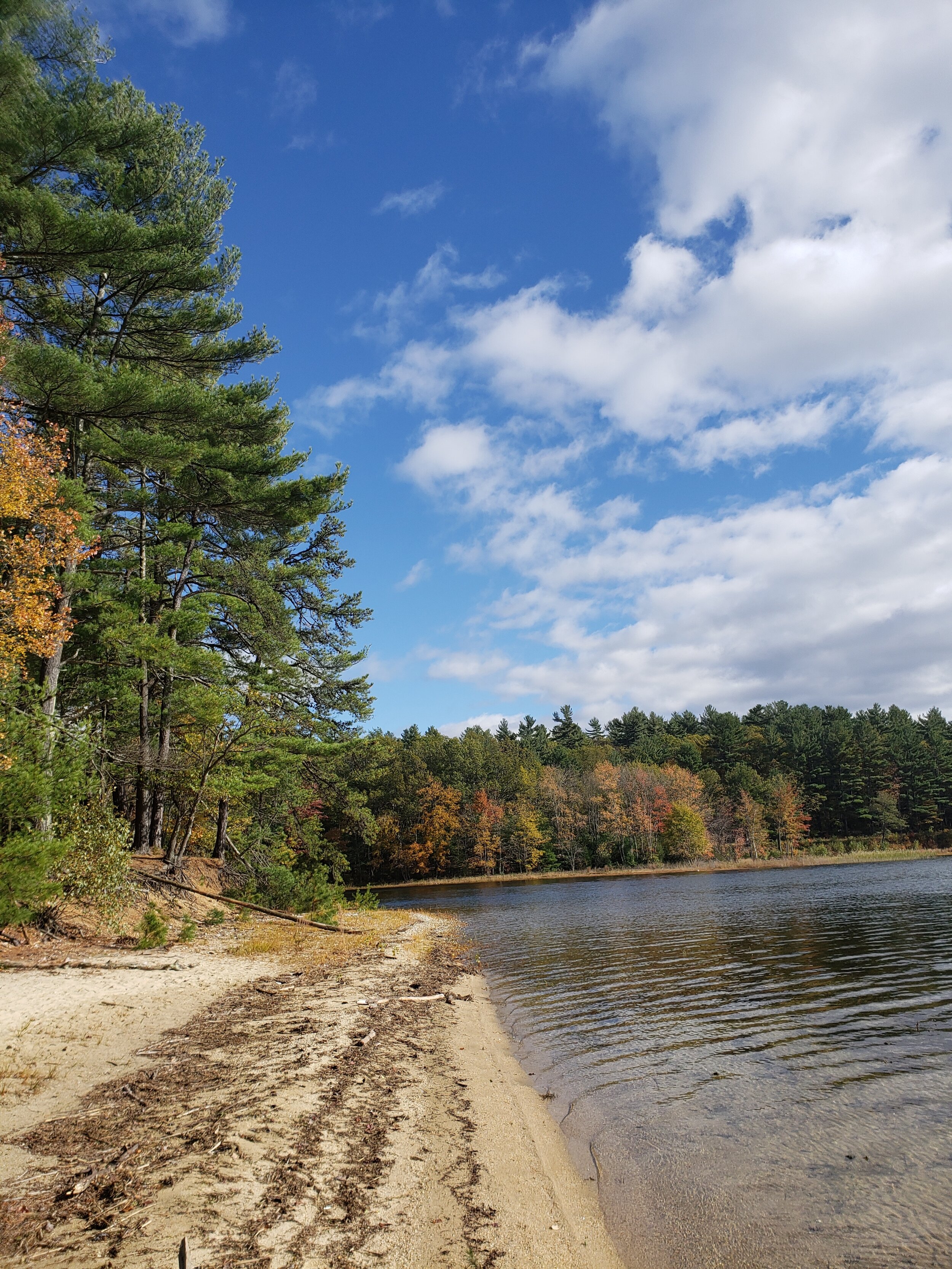
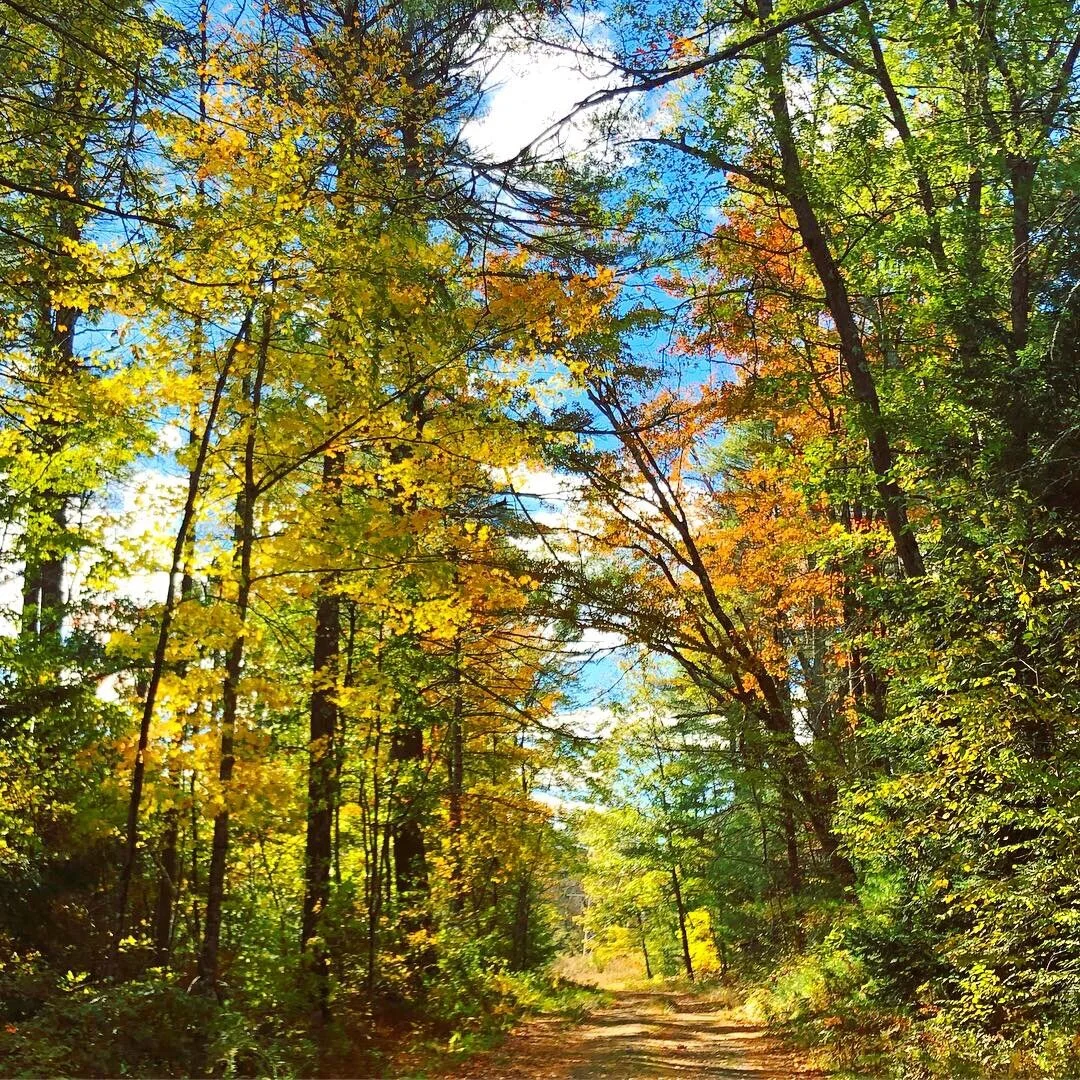
The path is largely flat, paved in some spots and takes you through both covered and open areas; you’ll pass some trees and eventually see power lines and another road, which forks to the right. Again, continue straight to reach the reservoir shore where you’ll get to a beach and see an expansive, panoramic view of the reservoir landscape.
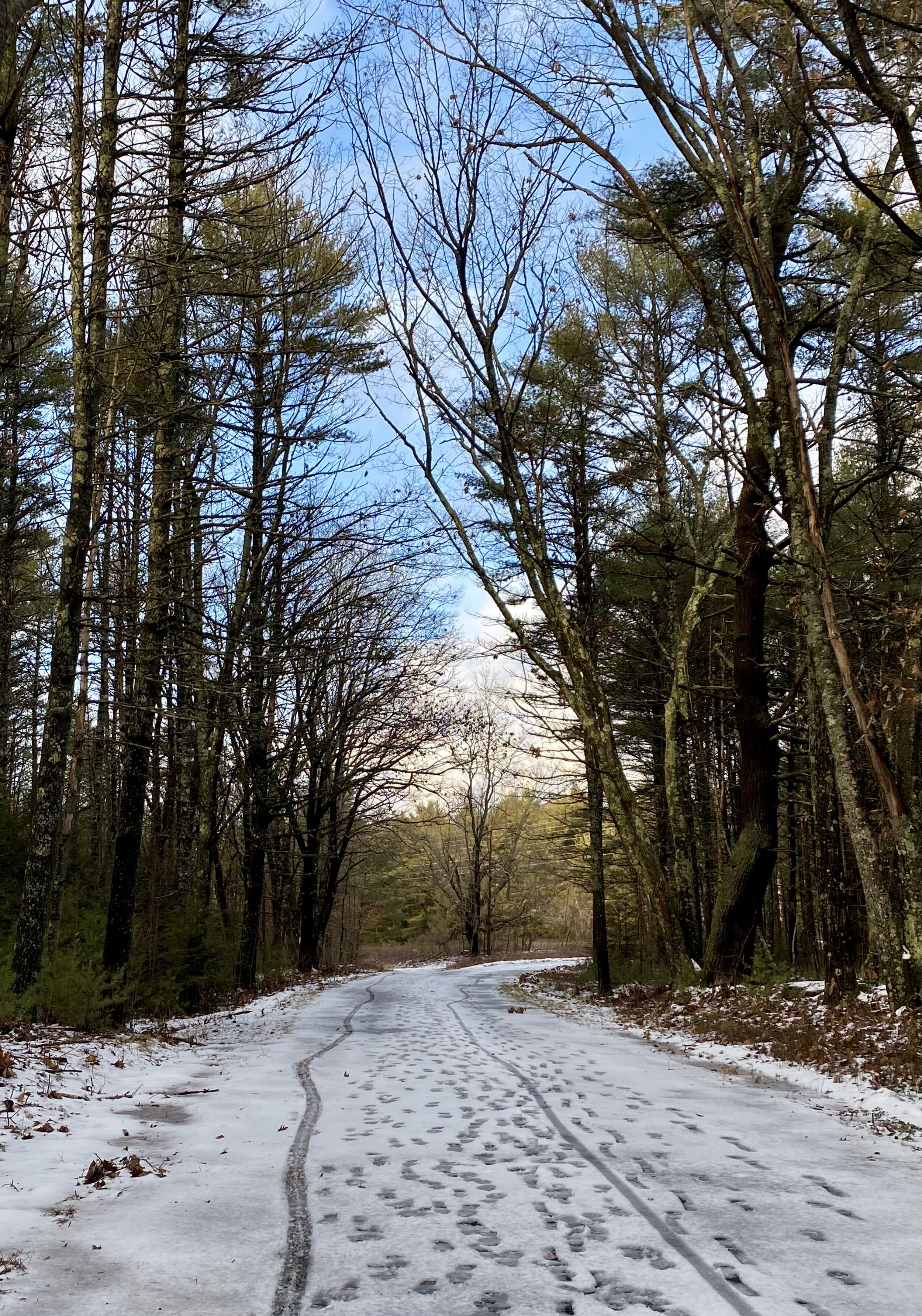
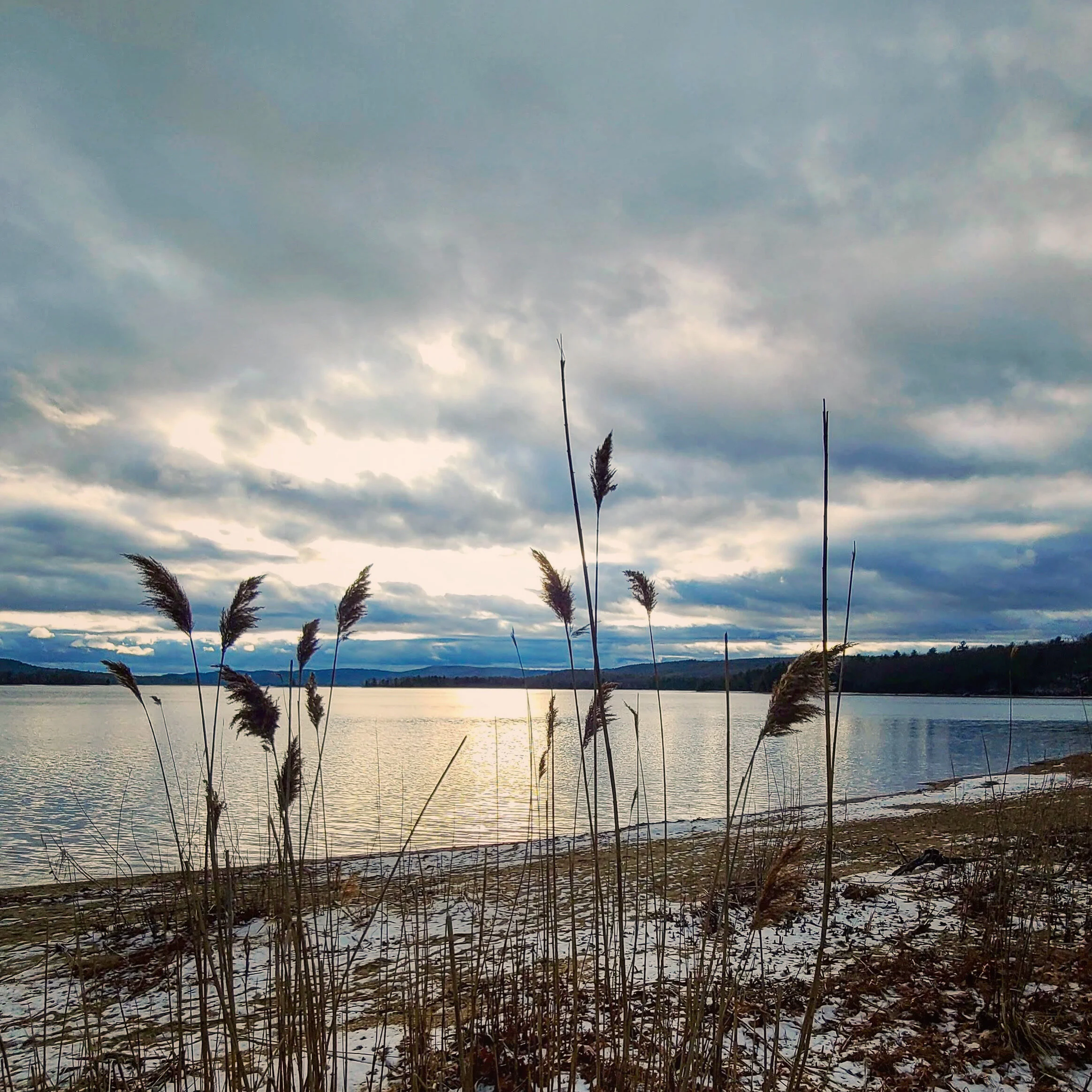
In winter, this Quabbin hike on the Gate 35 path is easily walkable after a couple inches of snow, and you are likely to even see mountain bike and possibly snow shoe tracks too. And on a partly sunny or bright day, you can see and capture beautiful landscapes in winter light.
During our several visits to this Quabbin Reservoir trail encompassing all seasons, we saw either (literally) no one or only a couple of people. After walking less than a mile, you get to this expansive view of the reservoir landscape and horizon.
Tip: If you have young kids, it is fine to bring a stroller. Dogs are the only prohibited family members on the paths and at the reservoir.
Tip: (In the spring through fall) Bring a beach blanket to hang out on the sand or spend time walking in the vast scenery and experience a moment of serenity.
Nearby Massachusetts Breweries to Quabbin Reservoir
After taking in the views, let’s cap off your day trip with craft beers Here are 3 Massachusetts breweries within 10 to 20 miles of Gate 35.
Stone Cow Brewery | location: 500 (B) West St., Barre, MA | driving route map
Honest Weight Artisan Beer | location: 131 West Main St., Orange, MA | driving route map
Lost Towns Brewing | location: 483 Main St., Gilbertville, MA | driving route map
Want to visit all three breweries? Don’t worry. You can because there are over 40 gates total at Quabbin, which provide plenty more day trips for hiking in Massachusetts to do at Quabbin Reservoir.


